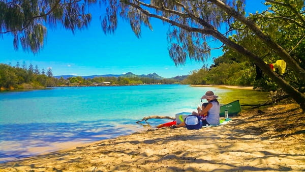
Why is the Northern Rivers Called the Northern Rivers??

Stretching along the northern coast of New South Wales is a little patch of golden sandy beaches, backed by lush rainforest. An ancient gathering place, volcanic crater and a region carved out by fertile river valleys. When asked where they’re from, residents will often answer with “the Northern Rivers” rather than Mooball, Mullumbimby or Murwillumbah. It’s not an official region or territory, so where does this nickname come from?
The “Northern Rivers” is bordered by Tweed Heads to the north, it reaches out to the most easterly point of Australia in the Coral Sea, down to the Dorrigo range (near Coffs Harbour) in the south, and out west to the Great Dividing Range. While it’s often the coastline that this region is known for, it’s the rivers that make this country what it is.
The Clarence, Richmond and Tweed Rivers are what this region is named for, and they’ve shaped a lot of the area’s development. Carved out by an ancient volcano in the north, prior to European settlement it was largely covered by big scrub (lowland rainforest). The traditional custodians of this land are the Bundjalung, Yaegl and Gumbaynggirr nations. They utilised the rivers for trapping or spearing fish, rays and eels.
The largest towns in the area (like Murwillumbah, Lismore & Grafton) were built at the heads of these river systems, largely to facilitate the logging of red cedar and other timbers. After clearing for timber and then dairy farming, only 1% of the original rainforest remains. Thankfully now the region has national parks protecting what’s left, and these days is largely lush farmland throughout the hinterland. The river systems also bring sediment to the coast, which is responsible for the vast stretches of sandy beaches.
Whether you call it Cavanbah (the meeting place) or rainbow country, it’s clear that those rivers carved out a pretty amazing place.
North coast, NSW, caldera, Clarence valley, Bundjalung nation


